Looking west from Goldhill Lane
Introduction
The photograph on this page of Looking west from Goldhill Lane by Robert Graham as part of the Geograph project.
The Geograph project started in 2005 with the aim of publishing, organising and preserving representative images for every square kilometre of Great Britain, Ireland and the Isle of Man.

There are currently over 7.5m images from over 14,400 individuals and you can help contribute to the project by visiting https://www.geograph.org.uk
Looking west from Goldhill Lane
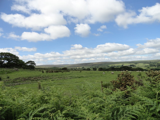
Image: © Robert Graham Taken: 18 Jun 2014
This country road runs south from Muggleswick to the Waskerley road, near to the edge of the cultivated countryside. Beyond are the moors of Muggleswick Park and Common, as can be seen here in the distance.
Images are licensed for reuse under creativecommons.org/licenses/by-sa/2.0
Image Location
Latitude
54.824477
Longitude
-1.922614