Castle Hill, Muir of Ord
Introduction
The photograph on this page of Castle Hill, Muir of Ord by Richard Dorrell as part of the Geograph project.
The Geograph project started in 2005 with the aim of publishing, organising and preserving representative images for every square kilometre of Great Britain, Ireland and the Isle of Man.

There are currently over 7.5m images from over 14,400 individuals and you can help contribute to the project by visiting https://www.geograph.org.uk
Castle Hill, Muir of Ord
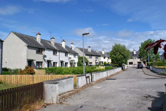
Image: © Richard Dorrell Taken: 17 Jun 2014
A residential cul-de-sac just off Tarradale Terrace. The road takes its name from a nearby henge-type earthwork which is now incorporated into a green on Muir of Ord golf course. The narrow road and lack of pavement suggests these houses were built in an age when private car ownership was rare.
Images are licensed for reuse under creativecommons.org/licenses/by-sa/2.0
Image Location
Latitude
57.514826
Longitude
-4.458894