Kemnal Road, Chislehurst, Kent
Introduction
The photograph on this page of Kemnal Road, Chislehurst, Kent by David Hallam-Jones as part of the Geograph project.
The Geograph project started in 2005 with the aim of publishing, organising and preserving representative images for every square kilometre of Great Britain, Ireland and the Isle of Man.

There are currently over 7.5m images from over 14,400 individuals and you can help contribute to the project by visiting https://www.geograph.org.uk
Kemnal Road, Chislehurst, Kent
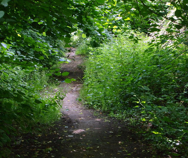
Image: © David Hallam-Jones Taken: 17 Jun 2014
Kemnal Road, a 3 or 4 mile long road commences (or ends) here as an overgrown, uncared-for rural footpath close to the northbound (London bound) carriageway of the Sidcup By-Pass (the A211). The latter is 2-3 minutes walk behind the photographer. Several miles ahead it becomes a D category road and then later a C category road, before finally reaching central Chislehurst.
Images are licensed for reuse under creativecommons.org/licenses/by-sa/2.0
Image Location
Latitude
51.430807
Longitude
0.078837