A470 distances from Cefn-coed-y-cymmer
Introduction
The photograph on this page of A470 distances from Cefn-coed-y-cymmer by Jaggery as part of the Geograph project.
The Geograph project started in 2005 with the aim of publishing, organising and preserving representative images for every square kilometre of Great Britain, Ireland and the Isle of Man.

There are currently over 7.5m images from over 14,400 individuals and you can help contribute to the project by visiting https://www.geograph.org.uk
A470 distances from Cefn-coed-y-cymmer
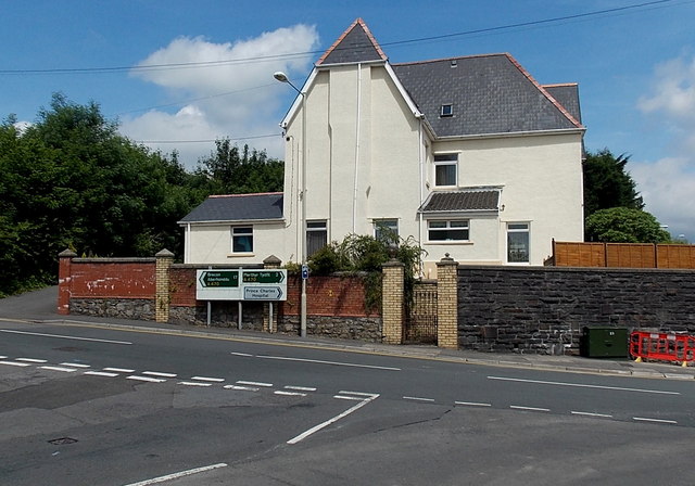
Image: © Jaggery Taken: 16 Jun 2014
Viewed from Grawen Lane, opposite Tabor Chapel. http://www.geograph.org.uk/photo/4032756 Turn left for Brecon (17 miles) or right for Merthyr Tydfil (2 miles). The right turn is also the way to Prince Charles Hospital.
Images are licensed for reuse under creativecommons.org/licenses/by-sa/2.0
Image Location
Latitude
51.763061
Longitude
-3.406938