Vaynor Villas, Cefn-coed-y-cymmer
Introduction
The photograph on this page of Vaynor Villas, Cefn-coed-y-cymmer by Jaggery as part of the Geograph project.
The Geograph project started in 2005 with the aim of publishing, organising and preserving representative images for every square kilometre of Great Britain, Ireland and the Isle of Man.

There are currently over 7.5m images from over 14,400 individuals and you can help contribute to the project by visiting https://www.geograph.org.uk
Vaynor Villas, Cefn-coed-y-cymmer
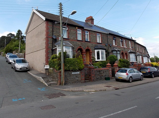
Image: © Jaggery Taken: 16 Jun 2014
The Vaynor Villas name sign is on the wall of Upper Vaynor Road, centre right, on the corner of Somerset Lane on the left.
Images are licensed for reuse under creativecommons.org/licenses/by-sa/2.0
Image Location
Latitude
51.763813
Longitude
-3.404208