Westfield Rise, Malpas, Newport
Introduction
The photograph on this page of Westfield Rise, Malpas, Newport by Jaggery as part of the Geograph project.
The Geograph project started in 2005 with the aim of publishing, organising and preserving representative images for every square kilometre of Great Britain, Ireland and the Isle of Man.

There are currently over 7.5m images from over 14,400 individuals and you can help contribute to the project by visiting https://www.geograph.org.uk
Westfield Rise, Malpas, Newport
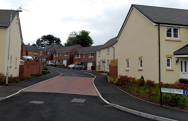
Image: © Jaggery Taken: 18 Jun 2014
Viewed from Westfield Way. Westfield Rise is an early 2010s Bellway development of detached houses on the site formerly occupied by Westfield School and Westfield Clinic. http://www.geograph.org.uk/photo/1643936
Images are licensed for reuse under creativecommons.org/licenses/by-sa/2.0
Image Location
Latitude
51.609722
Longitude
-3.007647