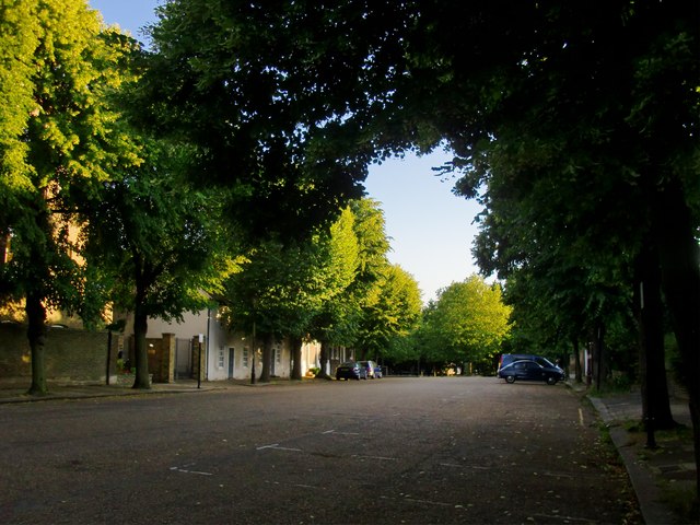
The Butts, Brentford: view south-west
Introduction
The photograph on this page of The Butts, Brentford: view south-west by Stefan Czapski as part of the Geograph project.
The Geograph project started in 2005 with the aim of publishing, organising and preserving representative images for every square kilometre of Great Britain, Ireland and the Isle of Man.
There are currently over 7.5m images from over 14,400 individuals and you can help contribute to the project by visiting https://www.geograph.org.uk

Image: © Stefan Czapski Taken: 14 Jun 2014
A most unexpected corner of west London - or, if you prefer, of old west Middlesex. From Half Acre, the Butts leads south-west, and goes nowhere in particular - linking to a couple of quiet residential streets and a passageway through to the Market Place. Behind the wall seen on the left is St Mary's Convent; beyond that a little terrace of cottages that could be the oldest buildings to survive here - they look as if they could date from before 1700. The other side of the street is mostly Victorian http://www.geograph.org.uk/photo/4030145 At its western end, the Butts opens out into a square (of sorts) where the houses are mostly Georgian, built on ground that slopes away toward the River Brent and the canal.
Image Location


