The Ballyrobin Road near Aldergrove
Introduction
The photograph on this page of The Ballyrobin Road near Aldergrove by Rossographer as part of the Geograph project.
The Geograph project started in 2005 with the aim of publishing, organising and preserving representative images for every square kilometre of Great Britain, Ireland and the Isle of Man.

There are currently over 7.5m images from over 14,400 individuals and you can help contribute to the project by visiting https://www.geograph.org.uk
The Ballyrobin Road near Aldergrove
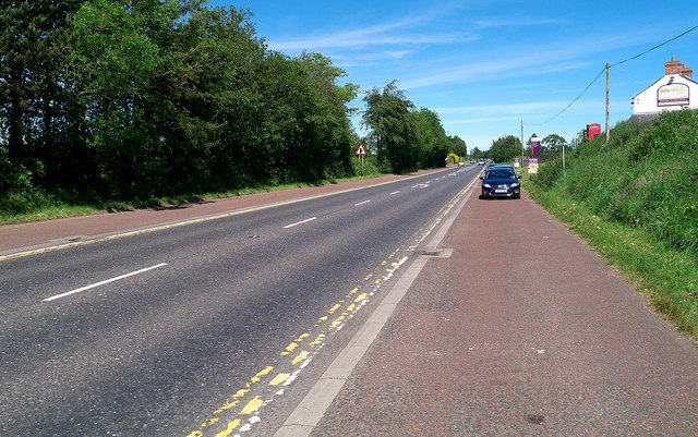
Image: © Rossographer Taken: 15 Jun 2014
Best known as the main road to Belfast International Airport. The hard shoulder is used as an unofficial car park by those not wishing to incur parking charges at the airport when collecting incoming passengers (as I was doing myself).
Images are licensed for reuse under creativecommons.org/licenses/by-sa/2.0
Image Location
Latitude
54.667473
Longitude
-6.192501