Rugby-Warwickshire College (Site of)
Introduction
The photograph on this page of Rugby-Warwickshire College (Site of) by Ian Rob as part of the Geograph project.
The Geograph project started in 2005 with the aim of publishing, organising and preserving representative images for every square kilometre of Great Britain, Ireland and the Isle of Man.

There are currently over 7.5m images from over 14,400 individuals and you can help contribute to the project by visiting https://www.geograph.org.uk
Rugby-Warwickshire College (Site of)
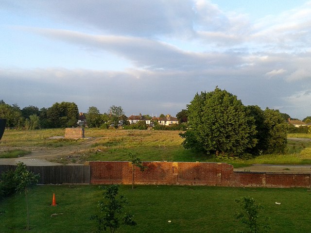
Image: © Ian Rob Taken: 16 Jun 2014
The buildings all demolished.View from Hopps Lodge Drive, part of a housing development built on the former Lodge Plug (Smith's Industries) Site.
Images are licensed for reuse under creativecommons.org/licenses/by-sa/2.0
Image Location
Latitude
52.370182
Longitude
-1.244569