Junction in Upper Castle Combe
Introduction
The photograph on this page of Junction in Upper Castle Combe by Jaggery as part of the Geograph project.
The Geograph project started in 2005 with the aim of publishing, organising and preserving representative images for every square kilometre of Great Britain, Ireland and the Isle of Man.

There are currently over 7.5m images from over 14,400 individuals and you can help contribute to the project by visiting https://www.geograph.org.uk
Junction in Upper Castle Combe
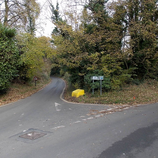
Image: © Jaggery Taken: 24 Nov 2013
A sign directs all traffic to the left, to Dunns Lane which leads to a car park and the B4039. The road on the right also leads to the B4039, joining it about 200 metres SE of the point where Dunns Lane joins the B road.
Images are licensed for reuse under creativecommons.org/licenses/by-sa/2.0
Image Location
Latitude
51.496856
Longitude
-2.224096