The Waterworks, Belfast (June 2014)
Introduction
The photograph on this page of The Waterworks, Belfast (June 2014) by Albert Bridge as part of the Geograph project.
The Geograph project started in 2005 with the aim of publishing, organising and preserving representative images for every square kilometre of Great Britain, Ireland and the Isle of Man.

There are currently over 7.5m images from over 14,400 individuals and you can help contribute to the project by visiting https://www.geograph.org.uk
The Waterworks, Belfast (June 2014)
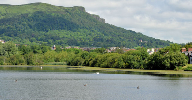
Image: © Albert Bridge Taken: 17 Jun 2014
Part of the former reservoir (described in Image), seen from beside the steps to Queen Mary’s Gardens, with the Cave Hill Image occupying most of the upper background.
Images are licensed for reuse under creativecommons.org/licenses/by-sa/2.0
Image Location
Latitude
54.621185
Longitude
-5.943725