North end of public footpath 4/2W
Introduction
The photograph on this page of North end of public footpath 4/2W by Robin Webster as part of the Geograph project.
The Geograph project started in 2005 with the aim of publishing, organising and preserving representative images for every square kilometre of Great Britain, Ireland and the Isle of Man.

There are currently over 7.5m images from over 14,400 individuals and you can help contribute to the project by visiting https://www.geograph.org.uk
North end of public footpath 4/2W
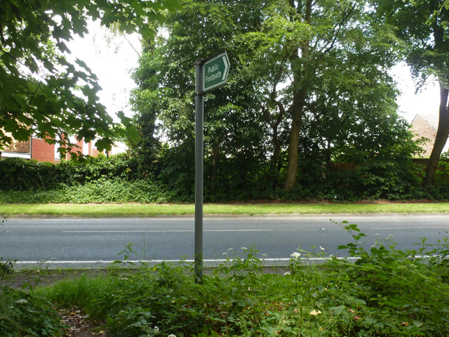
Image: © Robin Webster Taken: 11 Jun 2014
A short path entirely on a wooded part of Copthorne Common, connecting this spot on the A264 to other paths.
Images are licensed for reuse under creativecommons.org/licenses/by-sa/2.0
Image Location
Latitude
51.133821
Longitude
-0.121063