The Butts, Brentford
Introduction
The photograph on this page of The Butts, Brentford by Stefan Czapski as part of the Geograph project.
The Geograph project started in 2005 with the aim of publishing, organising and preserving representative images for every square kilometre of Great Britain, Ireland and the Isle of Man.

There are currently over 7.5m images from over 14,400 individuals and you can help contribute to the project by visiting https://www.geograph.org.uk
The Butts, Brentford
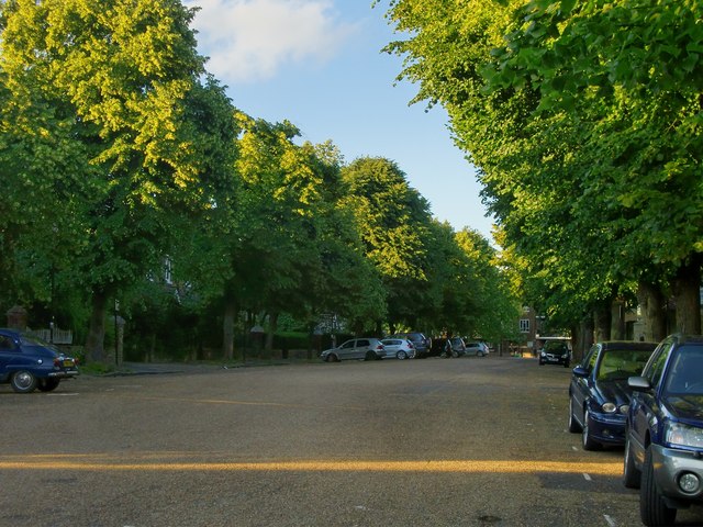
Image: © Stefan Czapski Taken: 14 Jun 2014
The view is roughly north-east, towards the main road known as Half Acre. To me this seems a most unusual urban space - a residential side-street as wide as some squares in London's old inner boroughs. At its western end there are a number of Georgian houses. Much of the south side (on the right in this picture) is occupied by a convent - which incorporates a Georgian property. On the north side most of the development looks Victorian, perhaps 1870's. Behind the camera the Butts ends in a wider open space - again surrounded by houses, but too irregular and informal to be called a square. A passageway gives access to the Market Place.
Images are licensed for reuse under creativecommons.org/licenses/by-sa/2.0
Image Location
Latitude
51.485134
Longitude
-0.307724