Footpath through Main Ing Plantation
Introduction
The photograph on this page of Footpath through Main Ing Plantation by Karl and Ali as part of the Geograph project.
The Geograph project started in 2005 with the aim of publishing, organising and preserving representative images for every square kilometre of Great Britain, Ireland and the Isle of Man.

There are currently over 7.5m images from over 14,400 individuals and you can help contribute to the project by visiting https://www.geograph.org.uk
Footpath through Main Ing Plantation
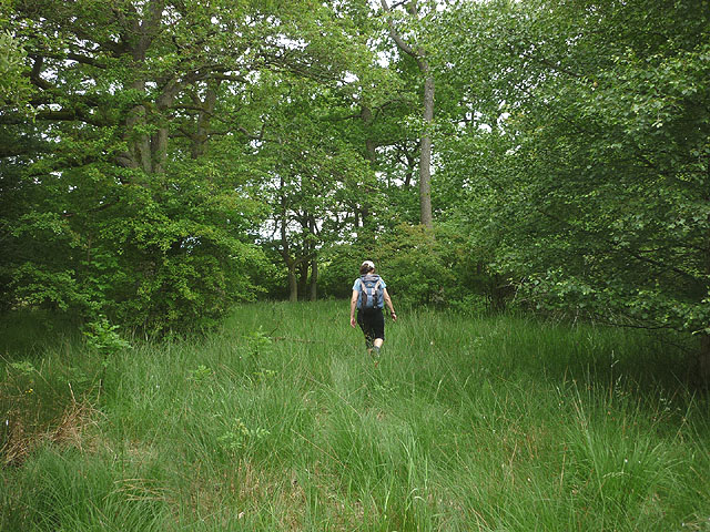
Image: © Karl and Ali Taken: 15 Jun 2014
As with many of the unfrequented paths in this area there is no marking and little sign of passage.
Images are licensed for reuse under creativecommons.org/licenses/by-sa/2.0
Image Location
Latitude
54.567847
Longitude
-2.607183