A corner at The Cross, Eastry
Introduction
The photograph on this page of A corner at The Cross, Eastry by Robin Webster as part of the Geograph project.
The Geograph project started in 2005 with the aim of publishing, organising and preserving representative images for every square kilometre of Great Britain, Ireland and the Isle of Man.

There are currently over 7.5m images from over 14,400 individuals and you can help contribute to the project by visiting https://www.geograph.org.uk
A corner at The Cross, Eastry
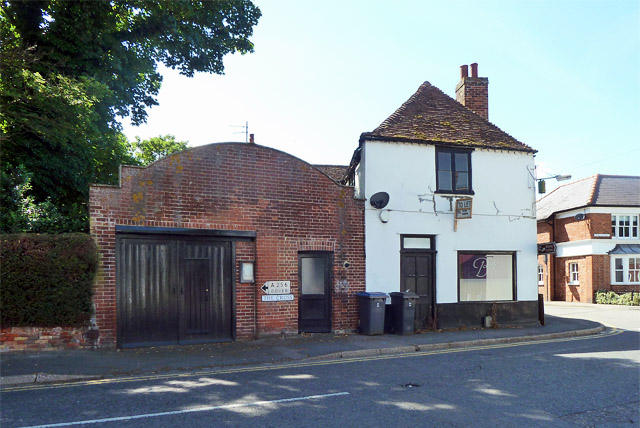
Image: © Robin Webster Taken: 12 Jun 2014
An end view of The Cross Farmhouse and Bliss premises on the right, a grade II listed building from the 15th century. What was the brick building to the left? It has a small notice board with faded postings between the doors. It also has an old style road sign for the A256 to Dover, dating from the days before the village was bypassed in 1991.
Images are licensed for reuse under creativecommons.org/licenses/by-sa/2.0
Image Location
Latitude
51.244512
Longitude
1.307649