Conversion of Connexions, 131-133 London Road
Introduction
The photograph on this page of Conversion of Connexions, 131-133 London Road by John Baker as part of the Geograph project.
The Geograph project started in 2005 with the aim of publishing, organising and preserving representative images for every square kilometre of Great Britain, Ireland and the Isle of Man.

There are currently over 7.5m images from over 14,400 individuals and you can help contribute to the project by visiting https://www.geograph.org.uk
Conversion of Connexions, 131-133 London Road
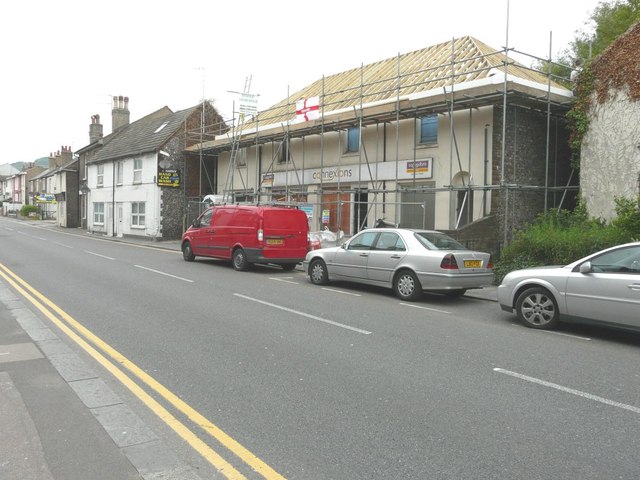
Image: © John Baker Taken: 30 May 2014
Planning permission has been granted by Dover District Council under application number DOV/13/00752 for the “change of use and conversion to four dwellings”. This was where jobless youngsters from Dover could apply for support through the Prince’s Trust scheme http://www.dover-express.co.uk/Prince-s-Trust-scheme-jobless-youngsters-seeks/story-14019912-detail/story.html This is Image after the conversion had been completed.
Images are licensed for reuse under creativecommons.org/licenses/by-sa/2.0
Image Location
Latitude
51.136718
Longitude
1.296073