Blaenrhondda
Introduction
The photograph on this page of Blaenrhondda by Alan Richards as part of the Geograph project.
The Geograph project started in 2005 with the aim of publishing, organising and preserving representative images for every square kilometre of Great Britain, Ireland and the Isle of Man.

There are currently over 7.5m images from over 14,400 individuals and you can help contribute to the project by visiting https://www.geograph.org.uk
Blaenrhondda
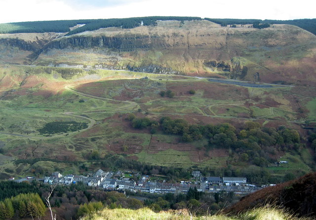
Image: © Alan Richards Taken: 31 Oct 2008
Edrych i lawr ar gyn pentre glofaol Blaenrhondda o Ben Pych. Looking down onto the former mining village of Blaenrhondda (trans. source of Rhondda River) from Pen Pych.
Images are licensed for reuse under creativecommons.org/licenses/by-sa/2.0
Image Location
Latitude
51.685147
Longitude
-3.553231