George Street side of a former chapel, Swansea
Introduction
The photograph on this page of George Street side of a former chapel, Swansea by Jaggery as part of the Geograph project.
The Geograph project started in 2005 with the aim of publishing, organising and preserving representative images for every square kilometre of Great Britain, Ireland and the Isle of Man.

There are currently over 7.5m images from over 14,400 individuals and you can help contribute to the project by visiting https://www.geograph.org.uk
George Street side of a former chapel, Swansea
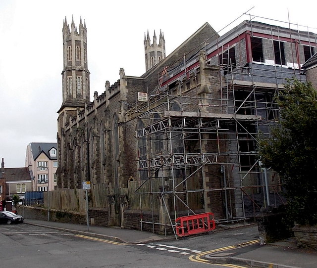
Image: © Jaggery Taken: 27 Apr 2014
Viewed in late April 2014, when scaffolding encased part of the building. It was built in 1862 as St Andrew's Methodist Chapel. The chapel was fire damaged and renovated during the mid 20th century and reopened in 1964. In the early 21st century it was in use as a mosque and Islamic Centre. In the absence of nameboards, its current use, if any, is unclear. http://www.geograph.org.uk/photo/4025850 to a closer view of the twin towers.
Images are licensed for reuse under creativecommons.org/licenses/by-sa/2.0
Image Location
Latitude
51.618395
Longitude
-3.95267