Conewood Street at the junction of Legard Road
Introduction
The photograph on this page of Conewood Street at the junction of Legard Road by David Howard as part of the Geograph project.
The Geograph project started in 2005 with the aim of publishing, organising and preserving representative images for every square kilometre of Great Britain, Ireland and the Isle of Man.

There are currently over 7.5m images from over 14,400 individuals and you can help contribute to the project by visiting https://www.geograph.org.uk
Conewood Street at the junction of Legard Road
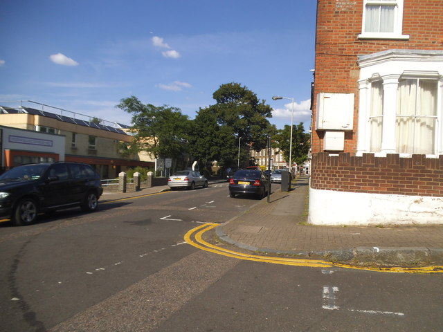
Image: © David Howard Taken: 13 Jun 2014
The old Arsenal Stadium is to the left, still looking exactly the same but no longer in use.
Images are licensed for reuse under creativecommons.org/licenses/by-sa/2.0
Image Location
Latitude
51.557933
Longitude
-0.099596