Church of St Bartholomew, Kneesall
Introduction
The photograph on this page of Church of St Bartholomew, Kneesall by Alan Murray-Rust as part of the Geograph project.
The Geograph project started in 2005 with the aim of publishing, organising and preserving representative images for every square kilometre of Great Britain, Ireland and the Isle of Man.

There are currently over 7.5m images from over 14,400 individuals and you can help contribute to the project by visiting https://www.geograph.org.uk
Church of St Bartholomew, Kneesall
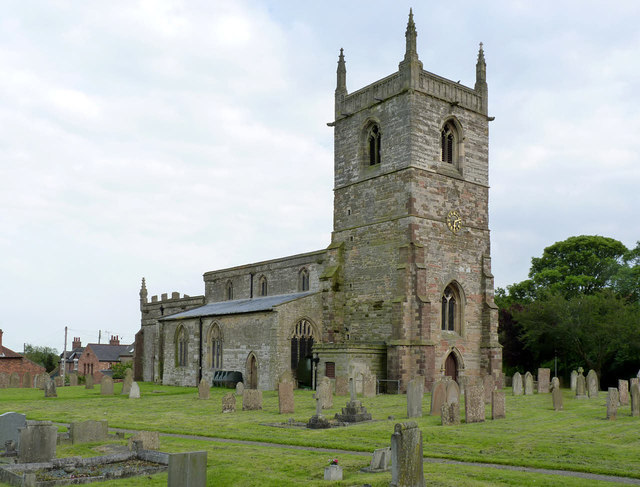
Image: © Alan Murray-Rust Taken: 1 Jun 2014
View from the north west. See below for details. The chancel remains consecrated for worship, the remainder becoming the Bill Hemsley Community Hall. The hall is named after the local farmer whose idea the formation of a hall was, and was partly funded from the National Lottery Community Fund. There is a bench mark http://www.geograph.org.uk/photo/4024706 on the west facing buttress at the north west corner of the tower.
Images are licensed for reuse under creativecommons.org/licenses/by-sa/2.0
Image Location
Latitude
53.170268
Longitude
-0.948304