Old and new main roads at Carleton
Introduction
The photograph on this page of Old and new main roads at Carleton by Oliver Dixon as part of the Geograph project.
The Geograph project started in 2005 with the aim of publishing, organising and preserving representative images for every square kilometre of Great Britain, Ireland and the Isle of Man.

There are currently over 7.5m images from over 14,400 individuals and you can help contribute to the project by visiting https://www.geograph.org.uk
Old and new main roads at Carleton
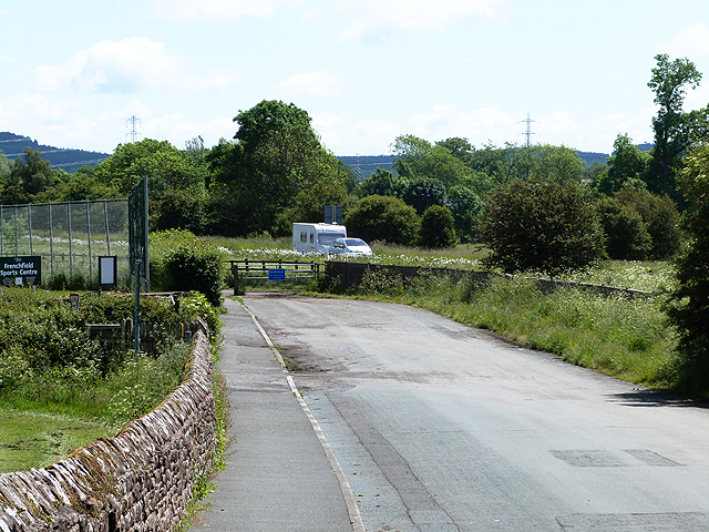
Image: © Oliver Dixon Taken: 11 Jun 2014
The old main road (Carleton Road) seemingly comes to an end where it abuts onto the modern A66, but a bridleway continues through a subway under the new road and is followed by National Cycle Network route 71.
Images are licensed for reuse under creativecommons.org/licenses/by-sa/2.0
Image Location
Latitude
54.657609
Longitude
-2.724778