Grange Lane
Introduction
The photograph on this page of Grange Lane by Marathon as part of the Geograph project.
The Geograph project started in 2005 with the aim of publishing, organising and preserving representative images for every square kilometre of Great Britain, Ireland and the Isle of Man.

There are currently over 7.5m images from over 14,400 individuals and you can help contribute to the project by visiting https://www.geograph.org.uk
Grange Lane
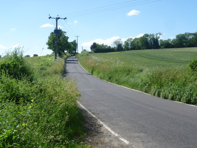
Image: © Marathon Taken: 10 Jun 2014
Grange Lane runs parallel to the M20 between Boxley Road and Boarley Lane. Cookes Cottages are just up the top of the hill ahead.
Images are licensed for reuse under creativecommons.org/licenses/by-sa/2.0
Image Location
Latitude
51.295016
Longitude
0.530858