Progress of the development of land adjoining The Mayfly, Defiant Close
Introduction
The photograph on this page of Progress of the development of land adjoining The Mayfly, Defiant Close by John Baker as part of the Geograph project.
The Geograph project started in 2005 with the aim of publishing, organising and preserving representative images for every square kilometre of Great Britain, Ireland and the Isle of Man.

There are currently over 7.5m images from over 14,400 individuals and you can help contribute to the project by visiting https://www.geograph.org.uk
Progress of the development of land adjoining The Mayfly, Defiant Close
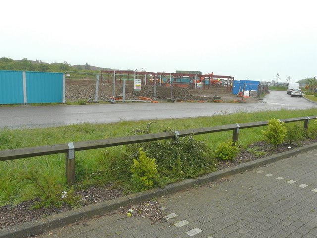
Image: © John Baker Taken: 27 May 2014
In less than two weeks since I photographed Image, some of the girders of the new development have been erected. Planning permission has been approved, with conditions, by Folkestone and Hythe District Council under application number Y10/0739/SH for a “mixed used development comprising the erection of 4, three storey blocks providing 8 ground floor commercial units (Classes A1, A2, A3, B1 uses) and 48, two bedroom apartments above, together with associated access, parking, landscaping and open space”. The Mayfly refers to Image
Images are licensed for reuse under creativecommons.org/licenses/by-sa/2.0
Image Location
Latitude
51.111374
Longitude
1.161801