Collieries flowerpot
Introduction
The photograph on this page of Collieries flowerpot by Neil Owen as part of the Geograph project.
The Geograph project started in 2005 with the aim of publishing, organising and preserving representative images for every square kilometre of Great Britain, Ireland and the Isle of Man.

There are currently over 7.5m images from over 14,400 individuals and you can help contribute to the project by visiting https://www.geograph.org.uk
Collieries flowerpot
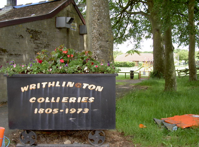
Image: © Neil Owen Taken: 11 Jun 2014
Writhlington, in common with many villages in the North Somerset coalfields, has little left of its industrial heritage. Also in common, an old piece of ironmongery is placed to remind people of the legacy. Playing fields are in the background.
Images are licensed for reuse under creativecommons.org/licenses/by-sa/2.0
Image Location
Latitude
51.288397
Longitude
-2.429143