Dead-end section of canal, Gloucester
Introduction
The photograph on this page of Dead-end section of canal, Gloucester by Jaggery as part of the Geograph project.
The Geograph project started in 2005 with the aim of publishing, organising and preserving representative images for every square kilometre of Great Britain, Ireland and the Isle of Man.

There are currently over 7.5m images from over 14,400 individuals and you can help contribute to the project by visiting https://www.geograph.org.uk
Dead-end section of canal, Gloucester
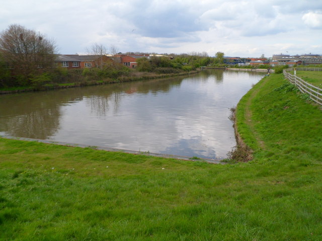
Image: © Jaggery Taken: 13 Apr 2012
Viewed near Goodridge Avenue and the A430. This used to be part of the through route of the Gloucester and Sharpness Canal. It became a backwater during the Two Mile Cut project which straightened the course of the canal.
Images are licensed for reuse under creativecommons.org/licenses/by-sa/2.0
Image Location
Latitude
51.838685
Longitude
-2.274703