Sheep pasture below Howton
Introduction
The photograph on this page of Sheep pasture below Howton by Derek Harper as part of the Geograph project.
The Geograph project started in 2005 with the aim of publishing, organising and preserving representative images for every square kilometre of Great Britain, Ireland and the Isle of Man.

There are currently over 7.5m images from over 14,400 individuals and you can help contribute to the project by visiting https://www.geograph.org.uk
Sheep pasture below Howton
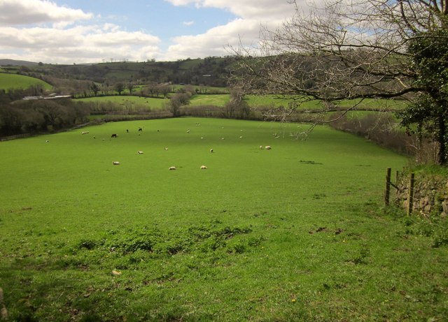
Image: © Derek Harper Taken: 9 Apr 2014
From the lane between Howton and the A382. The farm buildings on the left, occupying a former orchard, are unnamed on maps, as is the valley.
Images are licensed for reuse under creativecommons.org/licenses/by-sa/2.0
Image Location
Latitude
50.667216
Longitude
-3.782878