Cycle track at Winder
Introduction
The photograph on this page of Cycle track at Winder by David Purchase as part of the Geograph project.
The Geograph project started in 2005 with the aim of publishing, organising and preserving representative images for every square kilometre of Great Britain, Ireland and the Isle of Man.

There are currently over 7.5m images from over 14,400 individuals and you can help contribute to the project by visiting https://www.geograph.org.uk
Cycle track at Winder
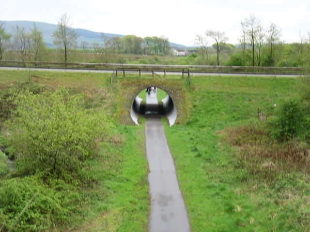
Image: © David Purchase Taken: 1 May 2014
The cycle track is on the line of a disused railway. The overbridge carries a fairly new (ca. 2000) private access road to the Eskett Quarries, which relieved Winder itself of the heavy traffic.
Images are licensed for reuse under creativecommons.org/licenses/by-sa/2.0
Image Location
Latitude
54.54655
Longitude
-3.473977