Cutlersforth Lane
Introduction
The photograph on this page of Cutlersforth Lane by Alan Murray-Rust as part of the Geograph project.
The Geograph project started in 2005 with the aim of publishing, organising and preserving representative images for every square kilometre of Great Britain, Ireland and the Isle of Man.

There are currently over 7.5m images from over 14,400 individuals and you can help contribute to the project by visiting https://www.geograph.org.uk
Cutlersforth Lane
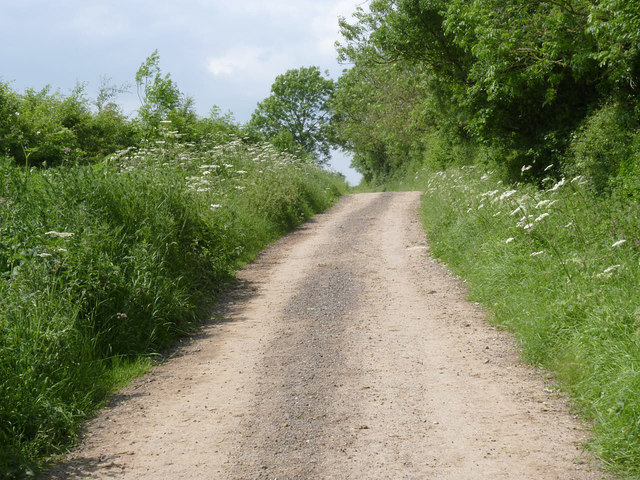
Image: © Alan Murray-Rust Taken: 1 Jun 2014
Shown as a road on the map I was using, together with the southern part of Newhall Lane, this is only classified as a byway. It is passable by car, but with considerable prudence. This was by no means the worst section.
Images are licensed for reuse under creativecommons.org/licenses/by-sa/2.0
Image Location
Latitude
53.076296
Longitude
-1.007319