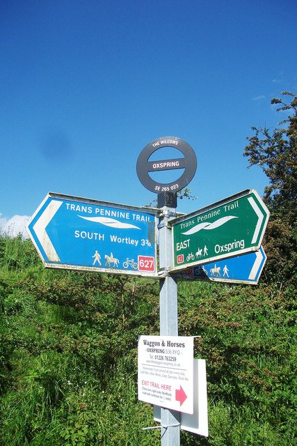
Trans Pennine Trail signage
Introduction
The photograph on this page of Trans Pennine Trail signage by michael ely as part of the Geograph project.
The Geograph project started in 2005 with the aim of publishing, organising and preserving representative images for every square kilometre of Great Britain, Ireland and the Isle of Man.
There are currently over 7.5m images from over 14,400 individuals and you can help contribute to the project by visiting https://www.geograph.org.uk

Image: © michael ely Taken: 8 Jun 2014
At Oxspring about 1.5 miles east of Penistone. The national grid reference is valuable for determining ones whereabouts on what could be, in places, a rather featureless linear trail.

