Terrace of housing, Stourport Road, Kidderminster
Introduction
The photograph on this page of Terrace of housing, Stourport Road, Kidderminster by P L Chadwick as part of the Geograph project.
The Geograph project started in 2005 with the aim of publishing, organising and preserving representative images for every square kilometre of Great Britain, Ireland and the Isle of Man.

There are currently over 7.5m images from over 14,400 individuals and you can help contribute to the project by visiting https://www.geograph.org.uk
Terrace of housing, Stourport Road, Kidderminster
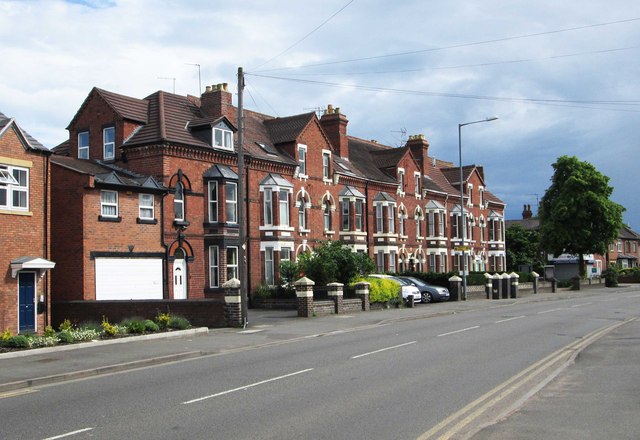
Image: © P L Chadwick Taken: 8 Jun 2014
Stourport Road has a wide variety of housing types along its considerable length. This terrace is still mainly but not exclusively in residential use. Its ends on the corner of Beauchamp Avenue.
Images are licensed for reuse under creativecommons.org/licenses/by-sa/2.0
Image Location
Latitude
52.374196
Longitude
-2.259949