Former Ford at Pontesbury
Introduction
The photograph on this page of Former Ford at Pontesbury by John Walton as part of the Geograph project.
The Geograph project started in 2005 with the aim of publishing, organising and preserving representative images for every square kilometre of Great Britain, Ireland and the Isle of Man.

There are currently over 7.5m images from over 14,400 individuals and you can help contribute to the project by visiting https://www.geograph.org.uk
Former Ford at Pontesbury
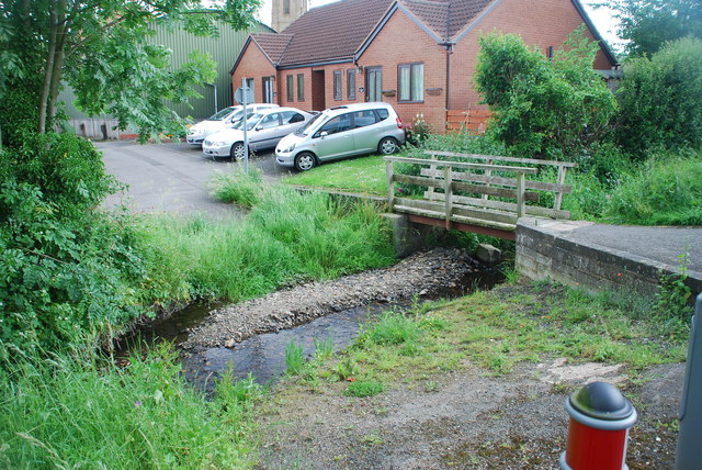
Image: © John Walton Taken: 8 Jun 2014
This ford in Pontesbury has now been blocked by the erection of bollards.
Images are licensed for reuse under creativecommons.org/licenses/by-sa/2.0
Image Location
Latitude
52.647139
Longitude
-2.88855