Queens Hill electricity substation set below road level, Newport
Introduction
The photograph on this page of Queens Hill electricity substation set below road level, Newport by Jaggery as part of the Geograph project.
The Geograph project started in 2005 with the aim of publishing, organising and preserving representative images for every square kilometre of Great Britain, Ireland and the Isle of Man.

There are currently over 7.5m images from over 14,400 individuals and you can help contribute to the project by visiting https://www.geograph.org.uk
Queens Hill electricity substation set below road level, Newport
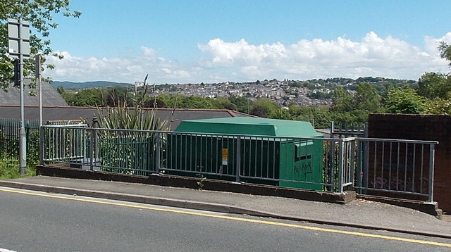
Image: © Jaggery Taken: 8 Jun 2014
Though located at the edge of the road named Queens Hill, the Western Power Distribution electricity substation's identifier is Pentonville S/S 53-2502. The nearest part of the street named Pentonville is nearly 300 metres to the south.
Images are licensed for reuse under creativecommons.org/licenses/by-sa/2.0
Image Location
Latitude
51.592796
Longitude
-2.999621