Building work on the Donkey Field
Introduction
The photograph on this page of Building work on the Donkey Field by David P Howard as part of the Geograph project.
The Geograph project started in 2005 with the aim of publishing, organising and preserving representative images for every square kilometre of Great Britain, Ireland and the Isle of Man.

There are currently over 7.5m images from over 14,400 individuals and you can help contribute to the project by visiting https://www.geograph.org.uk
Building work on the Donkey Field
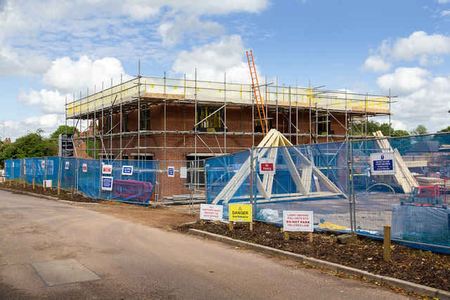
Image: © David P Howard Taken: 7 Jun 2014
New houses are being built on the Donkey Field despite much local opposition. View ENE down Lowes Lane.
Images are licensed for reuse under creativecommons.org/licenses/by-sa/2.0
Image Location
Latitude
52.192181
Longitude
-1.593858