Allotments, Hurstpierpoint
Introduction
The photograph on this page of Allotments, Hurstpierpoint by Simon Carey as part of the Geograph project.
The Geograph project started in 2005 with the aim of publishing, organising and preserving representative images for every square kilometre of Great Britain, Ireland and the Isle of Man.

There are currently over 7.5m images from over 14,400 individuals and you can help contribute to the project by visiting https://www.geograph.org.uk
Allotments, Hurstpierpoint
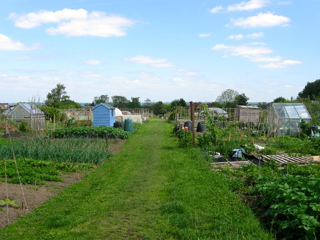
Image: © Simon Carey Taken: 31 May 2014
Originally a field called East Pease Croft according to Hurstpierpoint's 1842 tithe map it became allotments during the interwar period though one wonders how long this will remain as they are now surrounded by developments.
Images are licensed for reuse under creativecommons.org/licenses/by-sa/2.0
Image Location
Latitude
50.935714
Longitude
-0.184424