Mistley Thorpe and Walton railway
Introduction
The photograph on this page of Mistley Thorpe and Walton railway by John Lemay as part of the Geograph project.
The Geograph project started in 2005 with the aim of publishing, organising and preserving representative images for every square kilometre of Great Britain, Ireland and the Isle of Man.

There are currently over 7.5m images from over 14,400 individuals and you can help contribute to the project by visiting https://www.geograph.org.uk
Mistley Thorpe and Walton railway
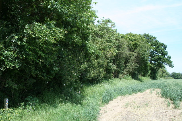
Image: © John Lemay Taken: 6 Jun 2014
The Essex Way path crosses a twin hedge line with a shallow cutting between, running north-south. These earthworks are almost the only evidence of a railway that hardly got off the drawing board, planned in 1863 and abandoned in 1869.
Images are licensed for reuse under creativecommons.org/licenses/by-sa/2.0
Image Location
Latitude
51.936445
Longitude
1.097437