Erection of a house, Old Dover Road, Capel-le-Ferne
Introduction
The photograph on this page of Erection of a house, Old Dover Road, Capel-le-Ferne by John Baker as part of the Geograph project.
The Geograph project started in 2005 with the aim of publishing, organising and preserving representative images for every square kilometre of Great Britain, Ireland and the Isle of Man.

There are currently over 7.5m images from over 14,400 individuals and you can help contribute to the project by visiting https://www.geograph.org.uk
Erection of a house, Old Dover Road, Capel-le-Ferne
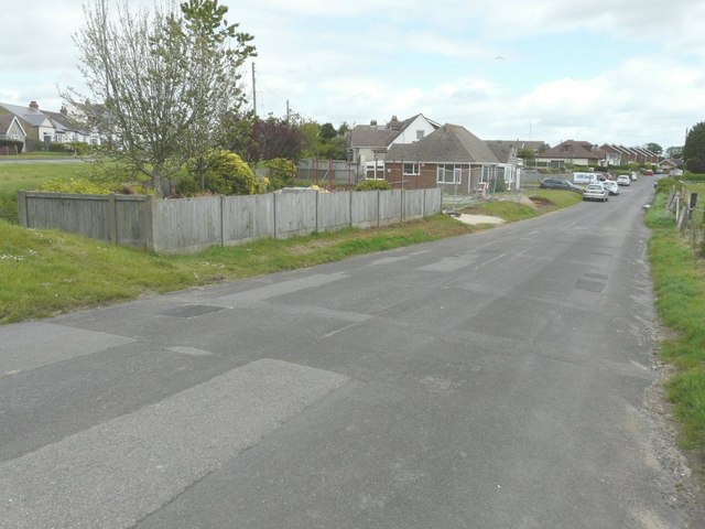
Image: © John Baker Taken: 11 May 2014
Planning permission has been granted by Dover District Council under application number DOV/13/00561 for the “erection of a detached dwelling and construction of a vehicular access” The development is taking place on land at 1 Old Dover Road, which is the bungalow in this view.
Images are licensed for reuse under creativecommons.org/licenses/by-sa/2.0
Image Location
Latitude
51.099977
Longitude
1.207024