The Oak Tree on Raskelf Road
Introduction
The photograph on this page of The Oak Tree on Raskelf Road by Martin Dawes as part of the Geograph project.
The Geograph project started in 2005 with the aim of publishing, organising and preserving representative images for every square kilometre of Great Britain, Ireland and the Isle of Man.

There are currently over 7.5m images from over 14,400 individuals and you can help contribute to the project by visiting https://www.geograph.org.uk
The Oak Tree on Raskelf Road
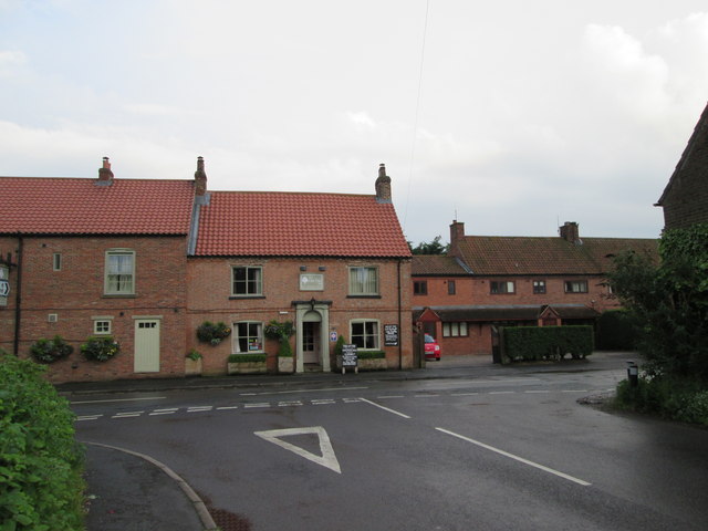
Image: © Martin Dawes Taken: 23 May 2014
Our invitation to an excellent meal has it in Helperby but where is the "line" between that and Brafferton? I have kindly been informed by Gordon Hatton 8/4/20, almost six years after the photo was taken that I was stood in Brafferton and the pub is in Helperby. The parish boundary runs along the middle of the street in front of the pub!
Images are licensed for reuse under creativecommons.org/licenses/by-sa/2.0
Image Location
Latitude
54.125161
Longitude
-1.329771