Bedale Heritage Trail information board
Introduction
The photograph on this page of Bedale Heritage Trail information board by Mike Kirby as part of the Geograph project.
The Geograph project started in 2005 with the aim of publishing, organising and preserving representative images for every square kilometre of Great Britain, Ireland and the Isle of Man.

There are currently over 7.5m images from over 14,400 individuals and you can help contribute to the project by visiting https://www.geograph.org.uk
Bedale Heritage Trail information board
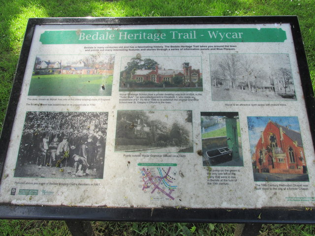
Image: © Mike Kirby Taken: 14 May 2014
Located on Wycar Green, this board gives information about the immediate area. Erected under the trees, it is rather dirty but still readable.
Images are licensed for reuse under creativecommons.org/licenses/by-sa/2.0
Image Location
Latitude
54.288029
Longitude
-1.595038