Ribbetts House, Trinity Road, Hurstpierpoint
Introduction
The photograph on this page of Ribbetts House, Trinity Road, Hurstpierpoint by Simon Carey as part of the Geograph project.
The Geograph project started in 2005 with the aim of publishing, organising and preserving representative images for every square kilometre of Great Britain, Ireland and the Isle of Man.

There are currently over 7.5m images from over 14,400 individuals and you can help contribute to the project by visiting https://www.geograph.org.uk
Ribbetts House, Trinity Road, Hurstpierpoint
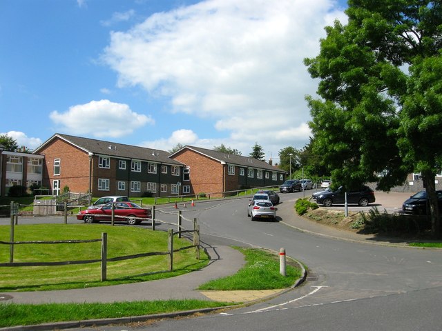
Image: © Simon Carey Taken: 31 May 2014
Sheltered housing built in 1978 that is squeezed between Trinity Road and High Street.
Images are licensed for reuse under creativecommons.org/licenses/by-sa/2.0
Image Location
Latitude
50.933323
Longitude
-0.175266