South Avenue Recreation Ground, Hurstpierpoint
Introduction
The photograph on this page of South Avenue Recreation Ground, Hurstpierpoint by Simon Carey as part of the Geograph project.
The Geograph project started in 2005 with the aim of publishing, organising and preserving representative images for every square kilometre of Great Britain, Ireland and the Isle of Man.

There are currently over 7.5m images from over 14,400 individuals and you can help contribute to the project by visiting https://www.geograph.org.uk
South Avenue Recreation Ground, Hurstpierpoint
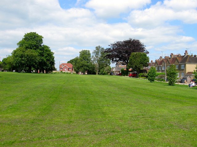
Image: © Simon Carey Taken: 31 May 2014
Laid out in the first decade of the 20th century on a former field called Hundred needle. according to Hurstpierpoint's 1842 tithe map. The open space is bounded to the north by Image on which the houses to the right, The croft and Little Croft, stand.
Images are licensed for reuse under creativecommons.org/licenses/by-sa/2.0
Image Location
Latitude
50.931797
Longitude
-0.175468