Grange Farm Main Street
Introduction
The photograph on this page of Grange Farm Main Street by Alan Murray-Rust as part of the Geograph project.
The Geograph project started in 2005 with the aim of publishing, organising and preserving representative images for every square kilometre of Great Britain, Ireland and the Isle of Man.

There are currently over 7.5m images from over 14,400 individuals and you can help contribute to the project by visiting https://www.geograph.org.uk
Grange Farm Main Street
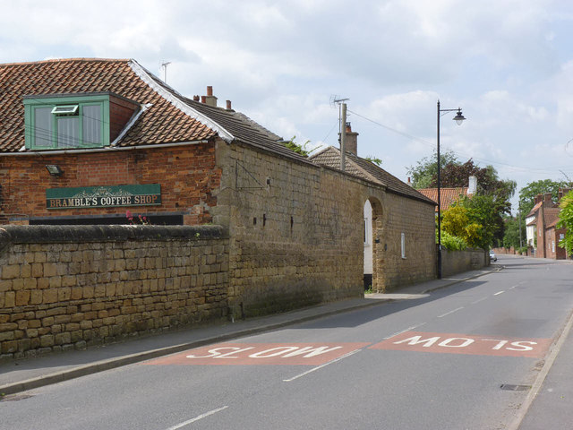
Image: © Alan Murray-Rust Taken: 1 Jun 2014
Barn walls and gateway in coursed rubble stonework. There is a bench mark http://www.geograph.org.uk/photo/4015800 on the near corner of the barn.
Images are licensed for reuse under creativecommons.org/licenses/by-sa/2.0
Image Location
Latitude
53.101473
Longitude
-1.029891