The Old Wheatsheaf
Introduction
The photograph on this page of The Old Wheatsheaf by Alan Murray-Rust as part of the Geograph project.
The Geograph project started in 2005 with the aim of publishing, organising and preserving representative images for every square kilometre of Great Britain, Ireland and the Isle of Man.

There are currently over 7.5m images from over 14,400 individuals and you can help contribute to the project by visiting https://www.geograph.org.uk
The Old Wheatsheaf
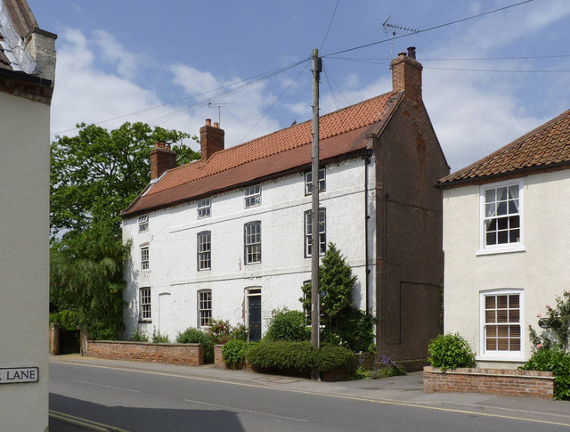
Image: © Alan Murray-Rust Taken: 1 Jun 2014
Former pub, with attached drayman's cottage at the far end. The date is mid 18th century, but the cottage, consisting of the far bay, was probably built a bit later than the main building, Listed Grade II.
Images are licensed for reuse under creativecommons.org/licenses/by-sa/2.0
Image Location
Latitude
53.102212
Longitude
-1.032413