Coneyberry
Introduction
The photograph on this page of Coneyberry by Simon Carey as part of the Geograph project.
The Geograph project started in 2005 with the aim of publishing, organising and preserving representative images for every square kilometre of Great Britain, Ireland and the Isle of Man.

There are currently over 7.5m images from over 14,400 individuals and you can help contribute to the project by visiting https://www.geograph.org.uk
Coneyberry
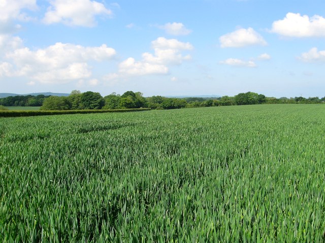
Image: © Simon Carey Taken: 31 May 2014
The name of the field according to Hurstpierpoint's 1842 tithe map that has been extended to include Image and Image to the north, the old field boundary survives as the route of Image As the name suggests the field was probably once part of a rabbit warren. Beyond the hedge to the left is Brighton Road, the B2117.
Images are licensed for reuse under creativecommons.org/licenses/by-sa/2.0
Image Location
Latitude
50.923688
Longitude
-0.18603