Bullfinch Lane
Introduction
The photograph on this page of Bullfinch Lane by Simon Carey as part of the Geograph project.
The Geograph project started in 2005 with the aim of publishing, organising and preserving representative images for every square kilometre of Great Britain, Ireland and the Isle of Man.

There are currently over 7.5m images from over 14,400 individuals and you can help contribute to the project by visiting https://www.geograph.org.uk
Bullfinch Lane
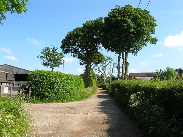
Image: © Simon Carey Taken: 31 May 2014
A private road allowing access to a number of properties south of Albourne Road, including the two in view, Pakyns Farm which is relatively recent to the left, and Grange Farm which dates from the postwar period to the right. The lane is a public footpath.
Images are licensed for reuse under creativecommons.org/licenses/by-sa/2.0
Image Location
Latitude
50.931589
Longitude
-0.190988