'Barn, Wall and Gate Piers Opposite Floyds Farmhouse'
Introduction
The photograph on this page of 'Barn, Wall and Gate Piers Opposite Floyds Farmhouse' by Robin Webster as part of the Geograph project.
The Geograph project started in 2005 with the aim of publishing, organising and preserving representative images for every square kilometre of Great Britain, Ireland and the Isle of Man.

There are currently over 7.5m images from over 14,400 individuals and you can help contribute to the project by visiting https://www.geograph.org.uk
'Barn, Wall and Gate Piers Opposite Floyds Farmhouse'
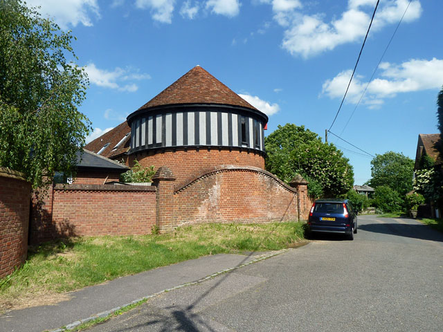
Image: © Robin Webster Taken: 5 Jun 2014
A grade II listed group, which seems to have once been part of the outbuildings of The Manor, now called Mount Tabor House.
Images are licensed for reuse under creativecommons.org/licenses/by-sa/2.0
Image Location
Latitude
51.862616
Longitude
-0.736688