Stanley Hill, Totterdown, Bristol
Introduction
The photograph on this page of Stanley Hill, Totterdown, Bristol by Jaggery as part of the Geograph project.
The Geograph project started in 2005 with the aim of publishing, organising and preserving representative images for every square kilometre of Great Britain, Ireland and the Isle of Man.

There are currently over 7.5m images from over 14,400 individuals and you can help contribute to the project by visiting https://www.geograph.org.uk
Stanley Hill, Totterdown, Bristol
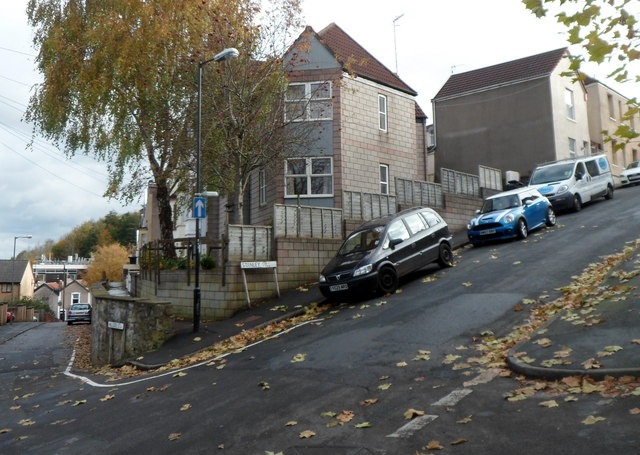
Image: © Jaggery Taken: 8 Nov 2012
Totterdown has many steep or very steep streets. This one, Stanley Hill, ascends from the corner of Hillside Street.
Images are licensed for reuse under creativecommons.org/licenses/by-sa/2.0
Image Location
Latitude
51.441711
Longitude
-2.57489