Field above the Torridge valley
Introduction
The photograph on this page of Field above the Torridge valley by Derek Harper as part of the Geograph project.
The Geograph project started in 2005 with the aim of publishing, organising and preserving representative images for every square kilometre of Great Britain, Ireland and the Isle of Man.

There are currently over 7.5m images from over 14,400 individuals and you can help contribute to the project by visiting https://www.geograph.org.uk
Field above the Torridge valley
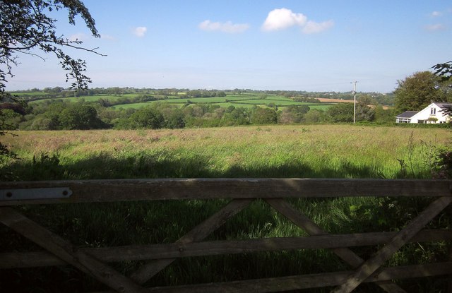
Image: © Derek Harper Taken: 31 May 2014
Seen from Fore Street, the road carrying NCN3 between Holemoor and Dippermill.
Images are licensed for reuse under creativecommons.org/licenses/by-sa/2.0
Image Location
Latitude
50.835887
Longitude
-4.225316