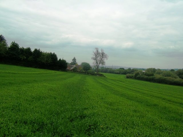
Grassland near Birdholme Farm
Introduction
The photograph on this page of Grassland near Birdholme Farm by Jonathan Clitheroe as part of the Geograph project.
The Geograph project started in 2005 with the aim of publishing, organising and preserving representative images for every square kilometre of Great Britain, Ireland and the Isle of Man.
There are currently over 7.5m images from over 14,400 individuals and you can help contribute to the project by visiting https://www.geograph.org.uk

Image: © Jonathan Clitheroe Taken: 31 May 2014
The footpath from where this picture was taken remains closed as at the date of posting but the closure notice pictured on Andrew Hill's photo http://www.geograph.org.uk/photo/2423364 has disappeared. Unarmed with this knowledge I spent a good half hour trying to plot a way through the ponds and undergrowth bordering the field before giving up. Chesterfield's twisted spire can be seen in the distance to the north.

