Terraced houses, Abertysswg
Introduction
The photograph on this page of Terraced houses, Abertysswg by Robin Drayton as part of the Geograph project.
The Geograph project started in 2005 with the aim of publishing, organising and preserving representative images for every square kilometre of Great Britain, Ireland and the Isle of Man.

There are currently over 7.5m images from over 14,400 individuals and you can help contribute to the project by visiting https://www.geograph.org.uk
Terraced houses, Abertysswg
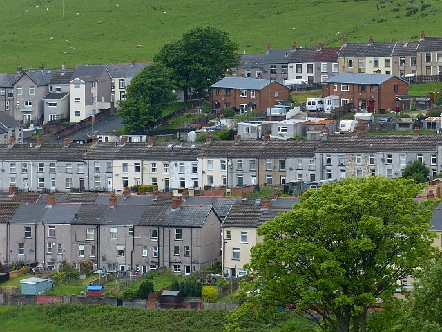
Image: © Robin Drayton Taken: 29 May 2014
Abertysswg (Abertyswg in Welsh) was a mining village established at the end of the 19th century at the time of the sinking of McLaren colliery. The colliery closed in 1959. Viewed across Cwm Tyswg.
Images are licensed for reuse under creativecommons.org/licenses/by-sa/2.0
Image Location
Latitude
51.743178
Longitude
-3.257277