Path following the former railway line
Introduction
The photograph on this page of Path following the former railway line by Sandy Gemmill as part of the Geograph project.
The Geograph project started in 2005 with the aim of publishing, organising and preserving representative images for every square kilometre of Great Britain, Ireland and the Isle of Man.

There are currently over 7.5m images from over 14,400 individuals and you can help contribute to the project by visiting https://www.geograph.org.uk
Path following the former railway line
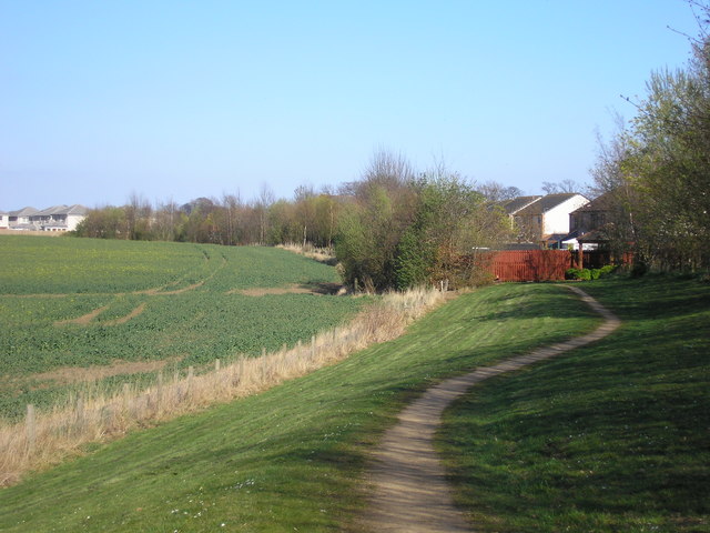
Image: © Sandy Gemmill Taken: 11 Apr 2007
The view looking back to East Wemyss on the Thornton to East Wemyss railway line.
Images are licensed for reuse under creativecommons.org/licenses/by-sa/2.0
Image Location
Latitude
56.157378
Longitude
-3.077018